Map of Atalan T’ea Llantu in the 1st and 2nd Ages
Tom looked up again and thought he saw something strange through the clouds. It seemed to him that high up there, above the clouds, the sky consisted of rock, faint but hanging impossibly over them and mountainous landscape.
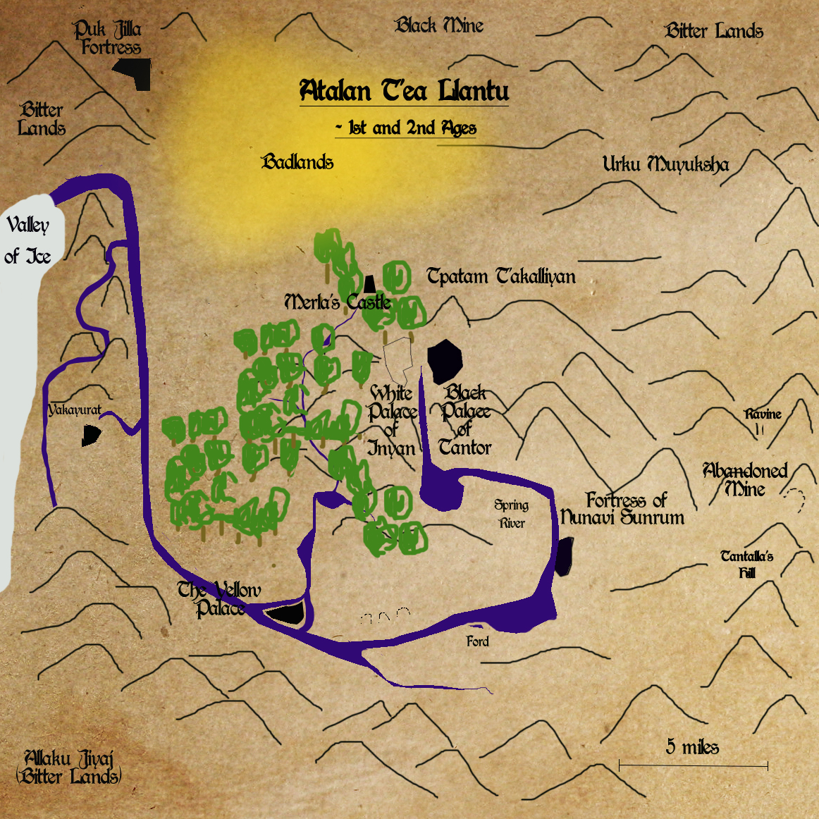
Find more maps in the Appendix of The Hole Inside the Earth.
You can discuss The Hole Inside the Earth on its dedicated Facebook page.
